
Early site analysis to inform the design of healthy, high performance buildings.
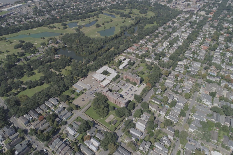
Site and programming analysis is a vital first step in the design process. Each site is unique, and complex elements such as topography, climate, and weather patterns can and should influence our design. We use a host of innovative solutions to assess existing conditions, providing the foundation for informed decision-making moving forward.
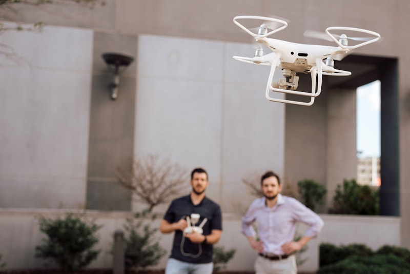
Power to the Drone
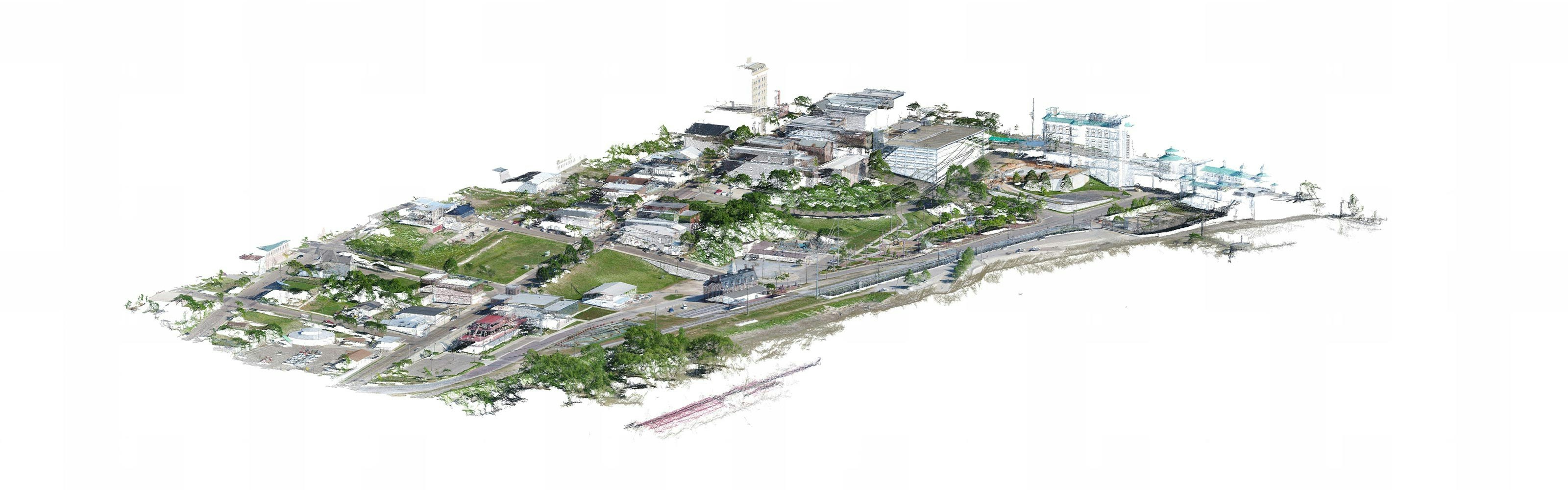
Drone scanning is one of the revolutionary tools shifting the conversation. Deploying the drone onsite in a predetermined route, we take hundreds of overlapping pictures. In the studio, using photogrammetry, we stitch these pictures together, creating a point cloud that can be used across platforms for extracting data for design and representation.
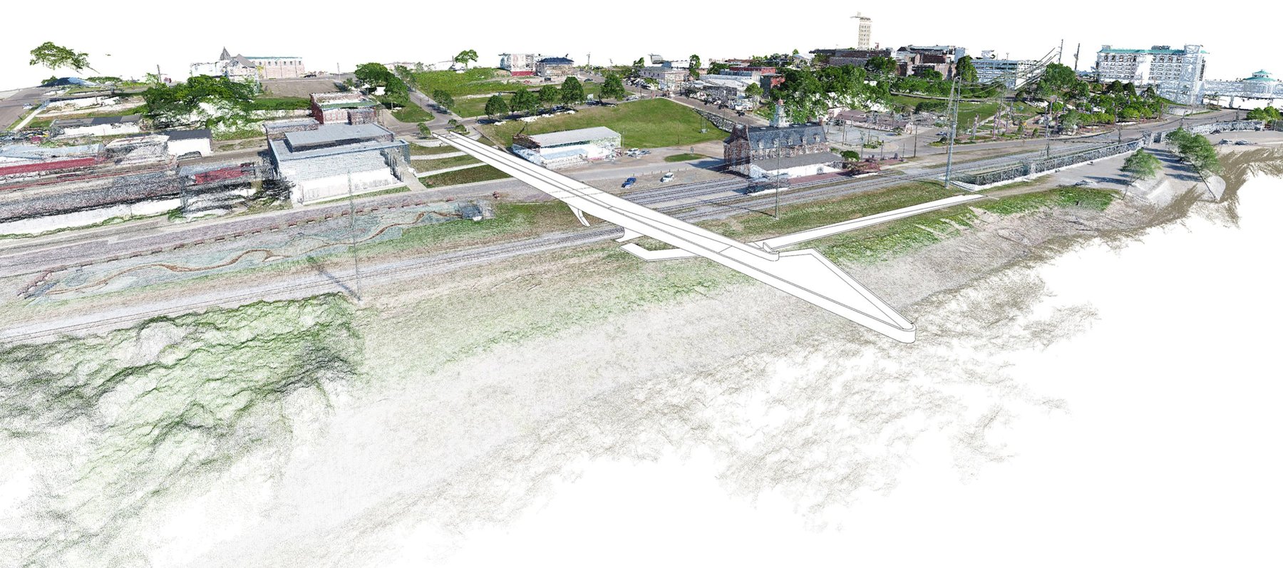
This is precisely the model we used on a recent site survey for a new urban waterfront in Vicksburg, Mississippi. The site presented several challenges, notably, astonishing topography sloping from a high elevation of 125 feet to a low of 55 feet. In deploying the drone onsite, we were able to obtain extreme 3-dimensional accuracy of the challenging terrain, an accuracy previously unobtainable via cost-effective means. Such precision affords our team an enduring representation of an existing site, capturing location in a crystallized, future-proof data form.
This scrutiny extends to climate and weather patterns. We integrate Ladybug, a Grasshopper plugin, to analyze existing climate data and produce interactive visualizations intended to support the decision-making process during the early stages of design. Understanding and communicating the conditions in which a building will exist, in the context of climate and weather, allows for near instantaneous feedback and ultimately, serve as a designer influencer.